


Narre Warren East
Narre Warren East | |||||||||||||
|---|---|---|---|---|---|---|---|---|---|---|---|---|---|
  Narre Warren East | |||||||||||||
 Interactive map of Narre Warren East | |||||||||||||
| Coordinates: 37°57′40″S 145°22′01″E / 37.961°S 145.367°E | |||||||||||||
| Country | Australia | ||||||||||||
| State | Victoria | ||||||||||||
| City | Melbourne | ||||||||||||
| LGA | |||||||||||||
| Location | |||||||||||||
| Government | |||||||||||||
| • State electorate | |||||||||||||
| • Federal division | |||||||||||||
| Elevation | 141 m (463 ft) | ||||||||||||
| Population | |||||||||||||
| • Total | 434 (2021 census)[1] | ||||||||||||
| Postcode | 3804 | ||||||||||||
| |||||||||||||
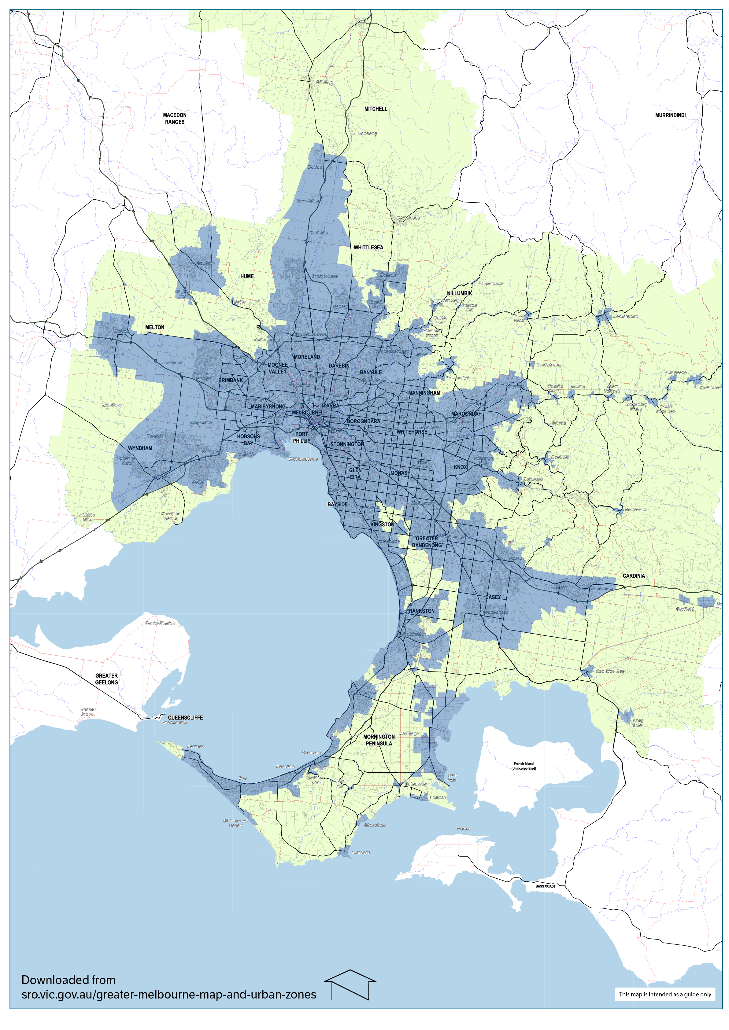
Narre Warren East is a locality in the Shire of Yarra Ranges, Victoria, Australia. It is located just outside of the Melbourne metropolitan area in, 38 km south-east of Melbourne's central business district.[2] At the 2021 census Narre Warren East had a population of 434.[1]
Despite its name, Narre Warren East is actually located in a north-easterly direction from Narre Warren North. It is also separated from the rest of the Narre Warrens, which are a part of the City of Casey.
Narre Warren East Post Office was short-lived operating in 1911 and 1912.[3]
The Narre Warren East public hall is located on Berwick Road.
Kerrs Park is located in Narre Warren East. Muddy Creek, a tributary of Cardinia Creek flows through the reserve.
Narre Warren East has an active Fire Brigade (CFA) with two appliances servicing the local and surrounding areas.
References
[edit]- 1 2 "2021 QuickStats Narre Warren East". Australian Bureau of Statistics. Retrieved 9 July 2022.
- ↑ "Map of greater Melbourne". State Revenue Office. 2018.
- ↑ Phoenix Auctions History, Post Office List, retrieved 24 March 2021
Localities in the Yarra Ranges Shire | ||
|---|---|---|
| Suburb of Melbourne |  | |
| Town |
| |
| Locality | ||
^ - Territory divided with another LGA | ||
 | This article about a place in Melbourne is a stub. You can help Wikipedia by adding missing information. |