Fall arrives with cooler temperatures and heavy rain


(PINPOINT WEATHER) -- It's officially fall! Whether you like it or not, the fall-feeling--as in, much cooler--temperatures are coming!
A slow-moving front has been leading to more downpours with the risk of flooding tonight. While the heavier rain will be tapering off overnight, some lighter showers/drizzle and patchy fog will still be possible for the morning commute. Keep the umbrella or raincoat handy through Thursday, with more periods of showers possible.
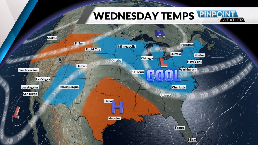
It'll be breezy, too-- adding to the cool factor! Temperatures will hover in only the 60s and 50s Wednesday through Thursday. Kind of a shock to the system after all the heat this summer and so far this month!
Advertisement
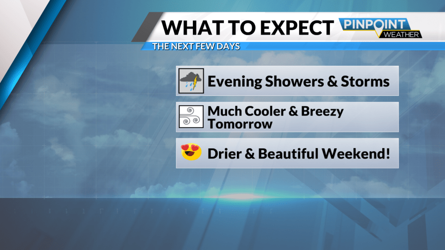
Full sunshine and pleasant highs in the 70s return for a gorgeous fall weekend ahead. Some chilly mornings, though. Lows will dip into the upper 40s and low 50s Friday through Sunday mornings! We're back in the 80s early next week.
Tonight: Lingering showers, t'storm. Patchy fog. Low 64.
Wednesday: Mostly cloudy with showers possible. Breezy and much cooler. High 69.
Copyright 2026 Nexstar Media, Inc. All rights reserved. This material may not be published, broadcast, rewritten, or redistributed.For the latest news, weather, sports, and streaming video, head to Queen City News.